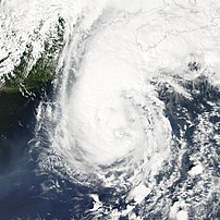
 Image via Wikipedia
 I don’t know why these guys worry…My wife has already sent Gustav packing…
Don’t freak out about the newest models, but…
The latest computer models have been released and they reflect a distinct shift westward, toward Texas, for Hurricane Gustav’s path. This almost certainly presages a similar shift in the National Hurricane Center‘s forecast track that will be released at 4 p.m. CT.
Here are most of the models we care about:
Each of the newest models now appear to show an influence from a high pressure system forecast to build southward from the Great Lakes region, which would push Gustav west. What this means is that we’re looking at storm that will probably make landfall in Louisiana or Texas.
SciGuy: Gustav Archives.
Don’t tell her though…I think I’ll keep tracking the trouble brewing offshore…The image up above is from an earlier Gustav.
![Reblog this post [with Zemanta]](https://i0.wp.com/img.zemanta.com/reblog_e.png?w=640)


